
Narrandera Airport Levee Feasibility Study
Investigating practical flood mitigation solutions to protect key infrastructure, improve access and reduce flood risk in Narrandera
Narrandera Airport Levee Feasibility Study
Assessing levee upgrade and extension options to reduce flood risk to Narrandera Airport, Nallabooma Estate and surrounding infrastructure while supporting long-term community resilience.
Levee Feasibility Study
Our client was Narrandera Shire Council
Location - Narrandera, NSW
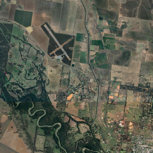
©2026 Airbus, Airbus, Map data ©2026 Google
Cumulus Engineering was engaged by Narrandera Shire Council to undertake the Narrandera Airport and Nallabooma Estate Levee Feasibility Study, a key project identified through the Narrandera Floodplain Risk Management Study and Plan. Working in partnership with Xeros Piccolo and Dryside Engineering, the study investigated practical flood mitigation measures to reduce flood risk to important community infrastructure, residential areas and transport connections.
The study area includes Narrandera Airport, Nallabooma Estate and sections of Irrigation Way, all of which are vulnerable to flooding from the Murrumbidgee River floodplain during major flood events. Narrandera Airport is an important regional asset that supports emergency services, aviation operations and community connectivity, while Nallabooma Estate continues to support residential and commercial growth on the western edge of the township.
Protecting critical regional infrastructure requires more than a levee. It requires a clear understanding of flood behaviour, community impacts and long-term resilience.
The project combined detailed flood modelling, engineering design, economic assessment, environmental investigations and stakeholder engagement to evaluate a range of flood mitigation options. Our team assessed how different levee configurations would perform during flooding, their impacts on surrounding land and infrastructure, and their long-term suitability. This process identified a preferred solution that balances flood protection outcomes, constructability, environmental considerations and value for the community.
The preferred solution includes upgrades to existing flood protection infrastructure and new levee works designed to reduce flood risk to Narrandera Airport, Nallabooma Estate and key access routes. Modelling demonstrated that the proposed works would significantly reduce flooding within the protected area, maintain access during major flood events and avoid adverse impacts on surrounding properties and the broader floodplain.
By providing a clear and technically robust pathway forward, the study gives Narrandera Shire Council a strong foundation for future investment in flood mitigation infrastructure. The project will help reduce flood risk for residents, improve the reliability of important transport connections and support the long-term operation of infrastructure that serves the wider community.
Narrandera Airport and Nallabooma Estate are located on the western edge of Narrandera within the Murrumbidgee River floodplain.
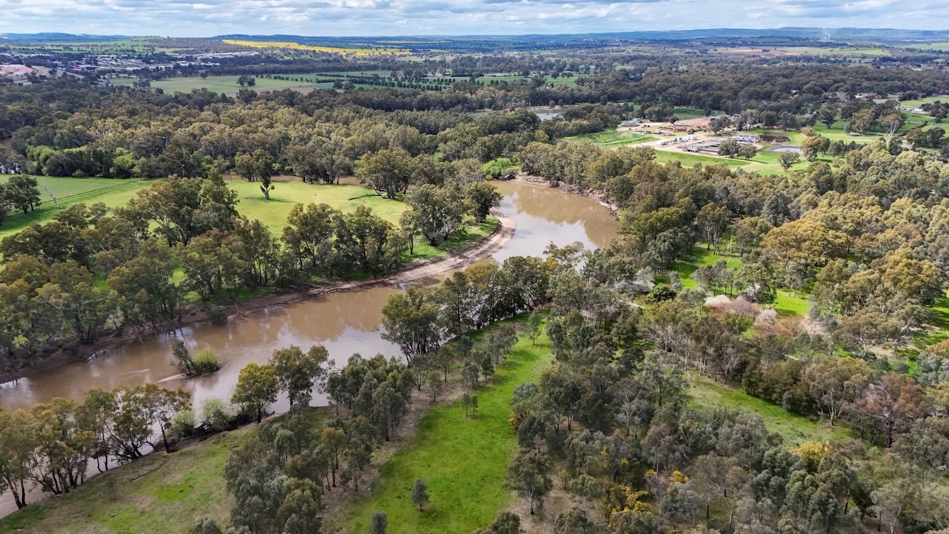
Murrumbidgee River in Narrandera, NSW
Author

Sarah Hollis
Senior Engineer
Share
Contact us for expert flood risk advice
Tell us about your project and the challenges you face. We’ll work with you to find the most practical, effective solutions for your site.
