
Latrobe River Eflow Hydraulic Assessment
Improving understanding of how environmental water moves through the Latrobe River system
Latrobe River Environmental Flow Hydraulic Modelling
Detailed hydraulic modelling is helping improve understanding of how environmental flows move through the Latrobe River system, supporting healthier waterways, floodplains and wetland environments across West Gippsland.
Eflow Hydraulic Assessment
Our client was West Gippsland CMA
Location - Latrobe River, West Gippsland, VIC
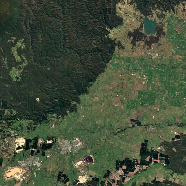
Imagery @2026 Landsat / Copernicus, Data SIO, NOAA, U.S. Navy, NGA, GEBCO, Map data @2026 Google
Cumulus Engineering was engaged by West Gippsland Catchment Management Authority to undertake detailed hydraulic modelling of the Latrobe River to support future environmental water delivery. Covering approximately 120 kilometres between Lake Narracan and the Thomson River confluence, the study provides important insights into how water moves through the river system and interacts with surrounding floodplain environments.
Environmental water plays a critical role in maintaining healthy rivers, wetlands and floodplain ecosystems. To deliver these benefits effectively, water managers need a clear understanding of how different flow releases behave within the river channel, where water may break out onto the floodplain and how these responses vary along the length of the system.
Using recent LiDAR data, survey information and advanced hydraulic modelling, our team assessed a range of environmental flow scenarios and validated model performance against observed events. The investigation examined channel capacity, floodplain connectivity and potential breakout locations across the broader Latrobe River system.
Environmental water is most effective when we understand not just how much water is delivered, but where it goes and how the river responds.
Thomson River, Walhalla
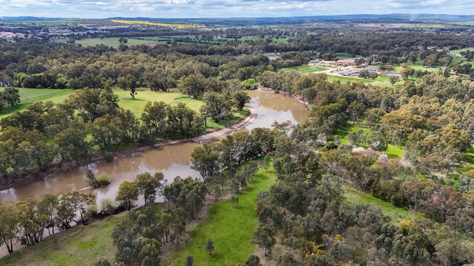
One of the key findings was the significant variation in river behaviour throughout the study area. Upstream reaches remain deeply incised and largely contained within the river channel, while downstream sections become increasingly connected to the surrounding floodplain. In some locations, relatively small changes in flow conditions can influence how water moves between the river and adjacent floodplain environments.
The study provides West Gippsland CMA with a stronger understanding of environmental flow behaviour and floodplain connectivity across the Latrobe River. These insights will help inform future environmental water delivery decisions, supporting healthier waterways and improving outcomes for river and floodplain ecosystems throughout the catchment.
Stretching from Lake Narracan to the Thomson River confluence, the study area covers approximately 120 kilometres of the Latrobe River and includes a diverse range of river and floodplain environments.
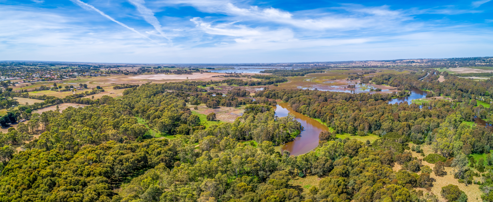
Thomson River near Sale, VIC
Author

Sarah Hollis
Senior Engineer
Share
Contact us for expert flood risk advice
Tell us about your project and the challenges you face. We’ll work with you to find the most practical, effective solutions for your site.
