
Project Highlight: Wimmera Rock Chute Modelling
Hydraulic modelling to guide rock chute stabilisation across the Wimmera region.
Wimmera Rock Chute Modelling
Hydraulic modelling of waterways in the Wimmera region to inform the design of resilient rock chute stabilisation structures.
Environmental Project
Our client was Geomorphe
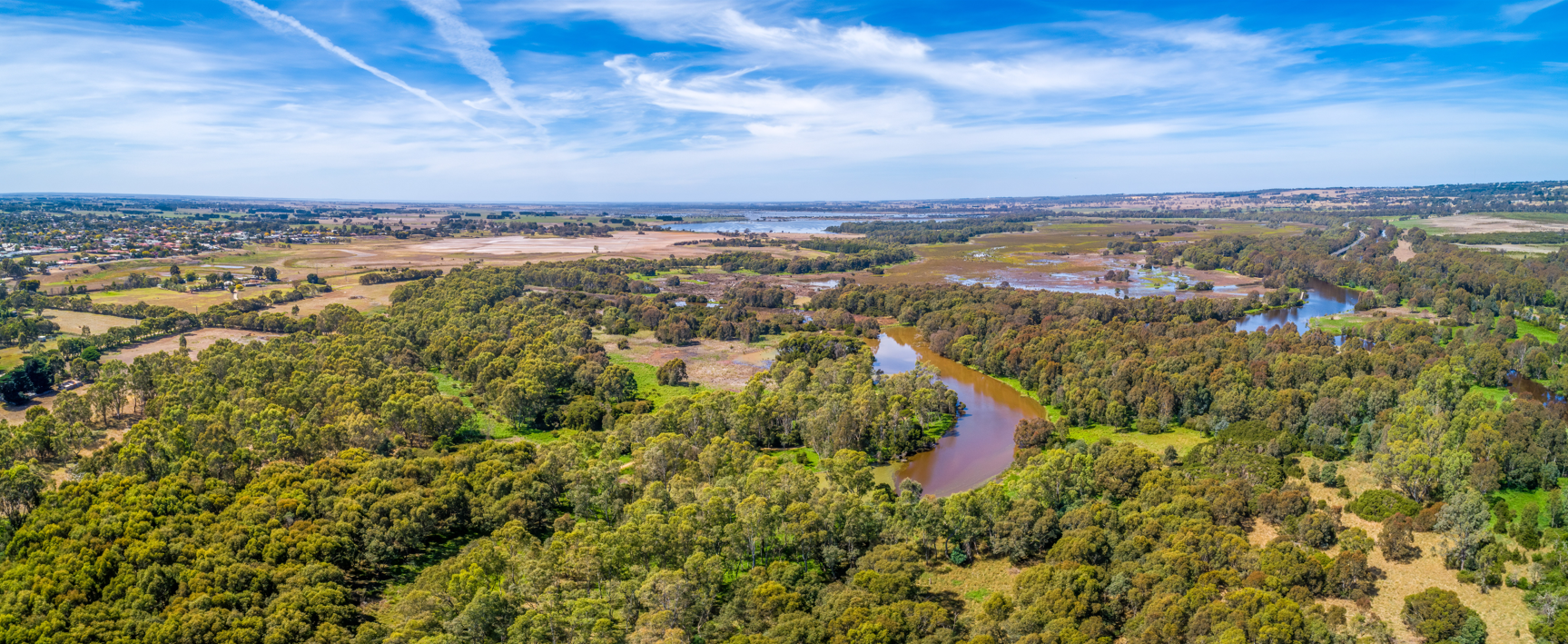
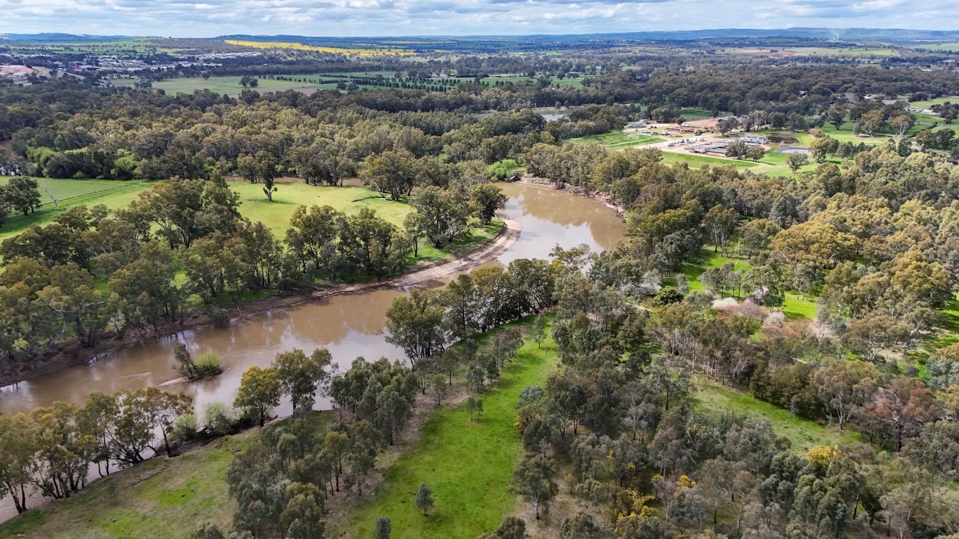
Location - Wimmera Region, VIC

©2025 CNES / Airbus, Airbus, Maxar Technologies, Map data ©2025 Google
Cumulus Engineering supported Geomorphe in delivering detailed hydraulic modelling for several waterways across the Wimmera region where rock chute stabilisation was proposed. Using industry-standard TUFLOW modelling, our team developed five hydraulic models covering seven features, including both steady-state and rain-on-grid simulations. The models assessed flow behaviour, water levels, velocities, and bed shear stress, providing valuable insights to inform the design of effective and resilient rock chute structures by Geomorphe. By combining precise survey data, LiDAR, and adaptive modelling approaches, we ensured robust results that support practical design solutions and long-term waterway stability.
Advanced modelling and practical expertise that ensure robust results that support practical design solutions and waterway stability.
The Wimmera Rock Chute is located in the upper Wimmera catchment
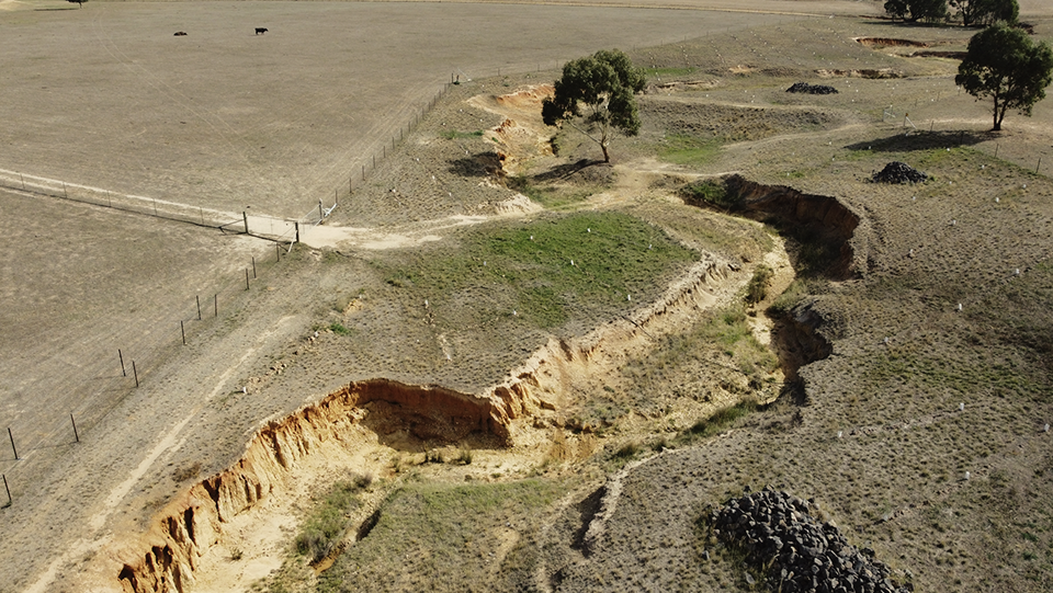
Wimmera Rock Chute site
Author

Sarah Hollis
Senior Engineer
Share
Contact us for expert flood risk advice
Tell us about your project and the challenges you face. We’ll work with you to find the most practical, effective solutions for your site.
