
Project Highlight: Barham River Flood Study
A comprehensive investigation to guide flood risk management in Apollo Bay
Barham River Flood Study Review
Developing new climate-ready flood models and risk assessments to strengthen community resilience, protect critical infrastructure, and guide future flood mitigation and planning.
Flood Study
Our client was Colac Otway Shire Council
Location - Apollo Bay, VIC

Google Maps Imagery ©2025, Map data ©2025
Cumulus Engineering has been engaged by Colac Otway Shire Council to undertake the Barham River Flood Study which consists of a comprehensive flood investigation of the Barham River catchment near Apollo Bay, Victoria. Our team will develop updated, climate-ready flood models using the latest data and tools, while also engaging closely with council, government agencies, and the local community. The outcome will be a clear, practical understanding of flood risks and options to strengthen Barham’s resilience, support smart land-use planning, and guide future flood mitigation efforts.
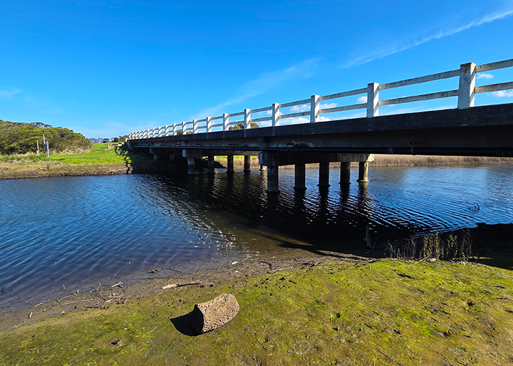
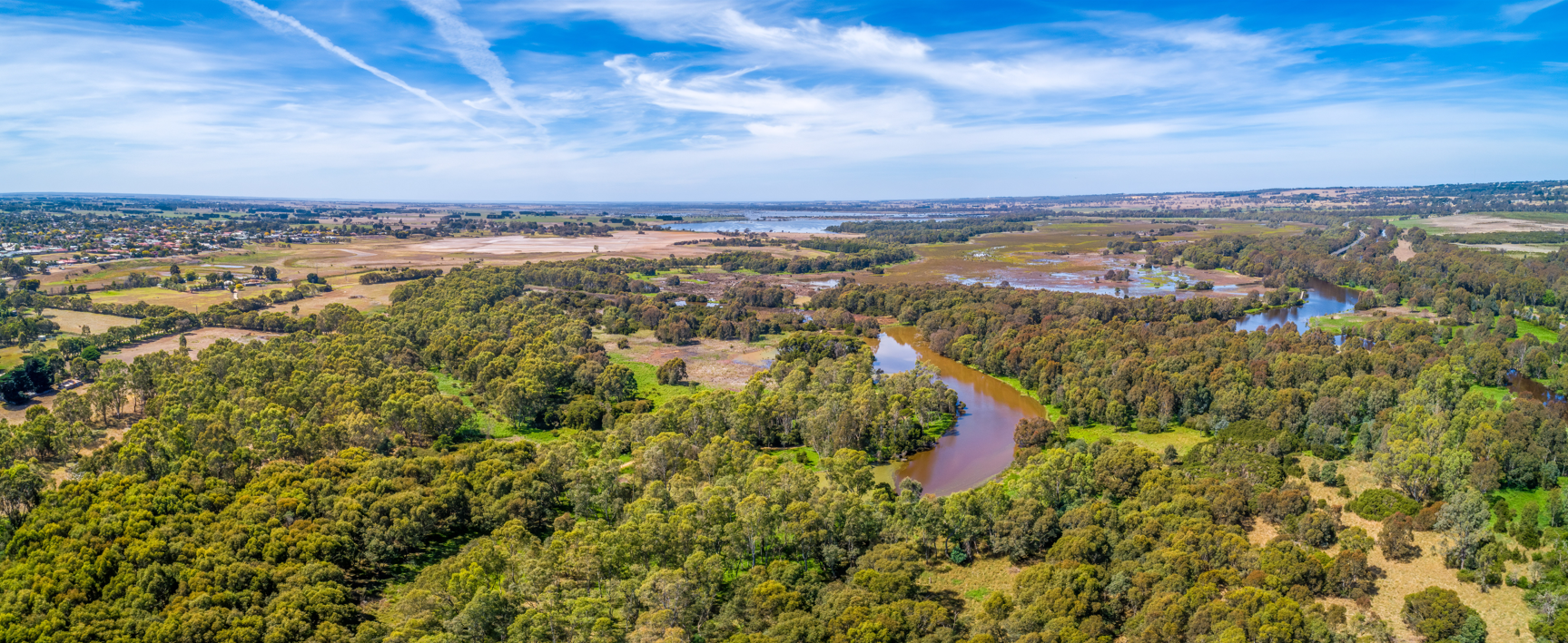
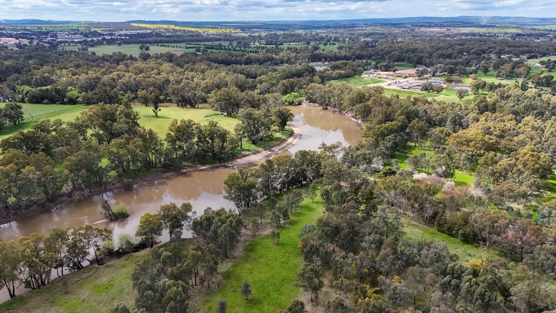
The study area covers the Barham River and its key tributaries, including Anderson Creek, Milford Creek, and local waterways extending to Apollo Bay. The catchment includes both urban and rural zones, with steep terrain and tidal influences that make parts of the area prone to flash flooding.
Delivered in two key phases, the project includes a Flood Study Report with hydrologic and hydraulic modelling, detailed flood mapping, and design flood analysis, followed by a Floodplain Risk Management Study and Plan that assesses flood risks, explores mitigation options, and recommends updates for land-use planning and emergency management. The study also integrates climate change projections, riverine and stormwater flood probabilities, and sea level rise, producing digital maps, spatial databases, and visualisations to guide council, emergency services, and the community. Together, these insights aim to strengthen community resilience, improve flood preparedness, and support informed decision-making for the Barham catchment and Apollo Bay.
These insights aim to strengthen community resilience, improve flood preparedness, and support informed decision-making for the Barham catchment and Apollo Bay.
The Barham River catchment, including Anderson Creek, Milford Creek, and smaller tributaries, flows through urban and rural areas and runs 16 km through the Great Otway National Park before reaching Bass Strait near Apollo Bay.
Barham River, Victoria
Author

Sarah Hollis
Senior Engineer
Share
Contact us for expert flood risk advice
Tell us about your project and the challenges you face. We’ll work with you to find the most practical, effective solutions for your site.
